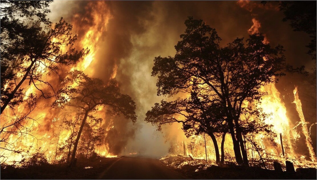
Bushfires / Wildfires
Early detection and situational awareness.
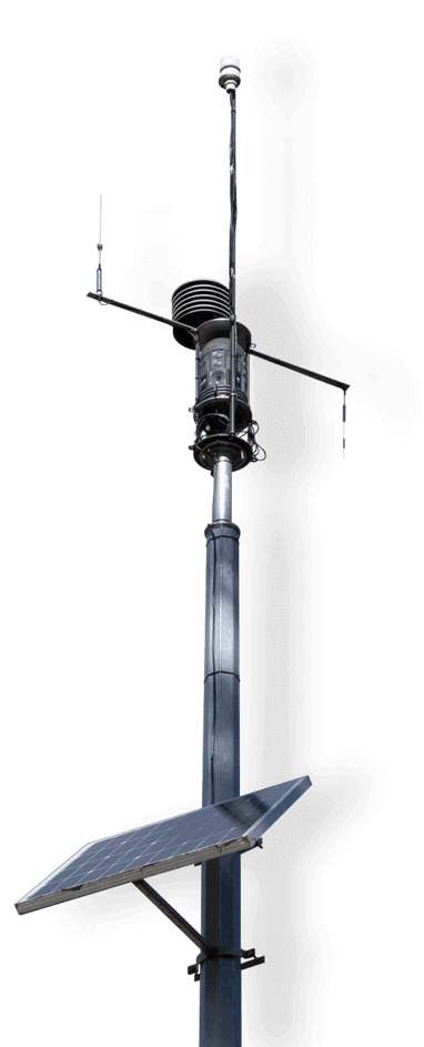
Attentis® fire detection sensors feature patented multiple detection capabilities to detect fire starts from lightning strike, arson, powerline or accidental ignition. Planned or reduction burns can be monitored to ensure the fire remains within the containment lines and no reignition occurs, mitigating the risk of an out of control burn.
The 360-degree thermal and visual imaging capability of the sensors provides an immediate and live view and instant access to information detailing the location and the extent of the fire, supported by localised weather and air quality conditions.
This information enables rapid informed response from emergency agencies and allows strategic deployment of resources to the most effective locations to contain and extinguish the fire(s).
Attentis® intelligent fire detection sensors maintain 24-hour monitoring of high fire ignition risk location, providing instant notification and situational awareness. Designed to support communities in a peri-urban interface, our networks mitigate risk of fire starts providing protection for water catchments, forests, agriculture, national parks, recreational lands and critical infrastructure.
A range of local environmental health monitoring including flood monitoring, water, air and soil quality and micro-climate weather can be incorporated into a single network delivering important information to local industry, government and communities, both on and off fire season.
Portable R9 units are available to increase the level of localised information, including placement at a fire front or mounted on a responder vehicle. Portable units instantly join existing fixed networks, appearing on Attentis® maps, providing situational awareness from their location.
Command centres and on-ground personnel can simultaneously view Attentis® interactive maps detailing fire fronts, wind movement, air quality, and resource location reducing the risk of burn-over or impact threats to firefighters.
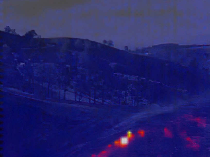
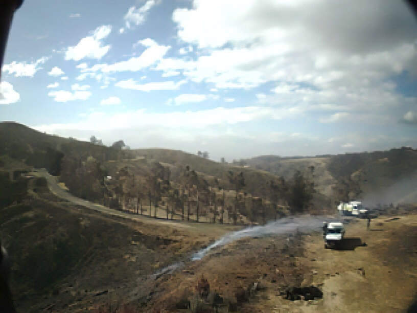
Re-ignition detection - Latrobe Valley Information Network (LVIN)
During the Yinnar South Fires, an Attentis® sensor that was installed after the fires to monitor the plantations in Jumbuck detected a re-ignition by way of thermal imaging.
The re-ignition was within the original fire footprint, adjacent to an at-risk property and home.
A series of thermal notifications were sent displaying the detection and increased temperature at the source, alerting authorities of the fire.
These photos show the initial thermal imaging and fire crews on the scene.
country fire authority (cfa)
"The ability to monitor weather for fire operations and pollution for fire fighter and community health was a huge advantage over previous campaigns."